Applied Aerial Technology
Nature intelligence
Precision forestry analytics and habitat mapping
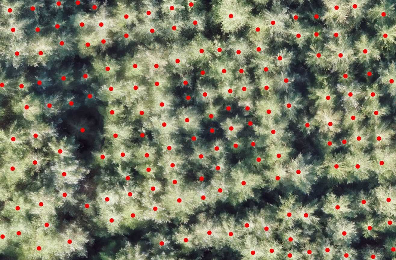
Transform your forest management with our high-resolution UAV surveys. Utilising advanced sensors, we provide comprehensive insights into forest health, biomass, and inventory.
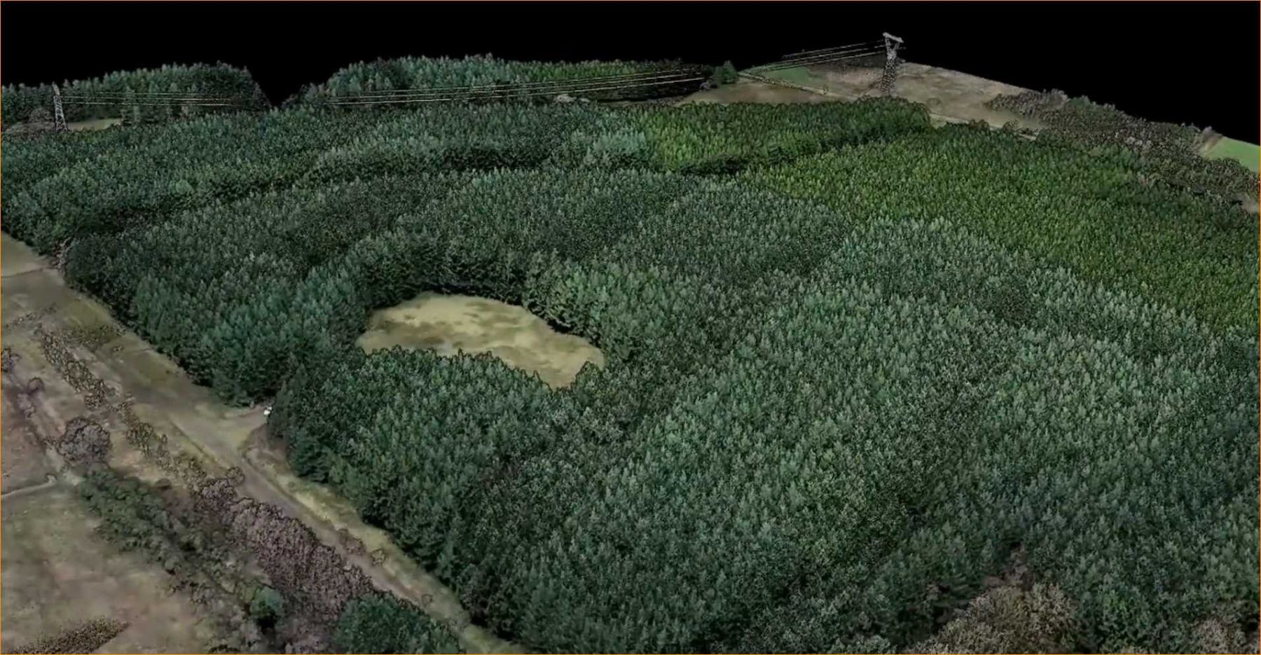
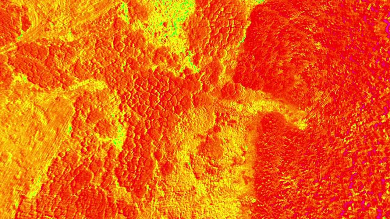
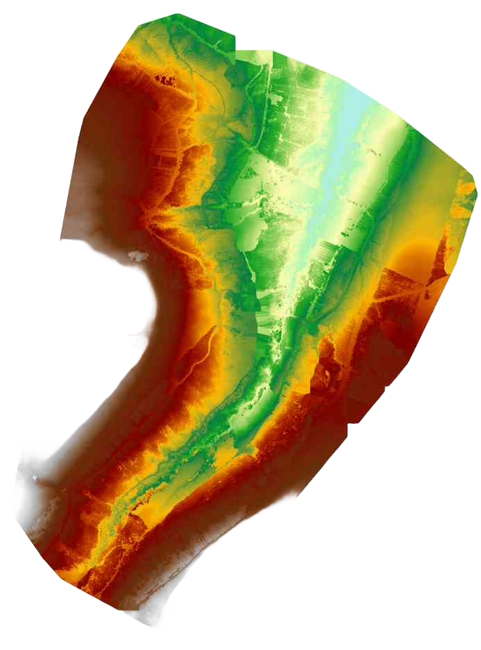
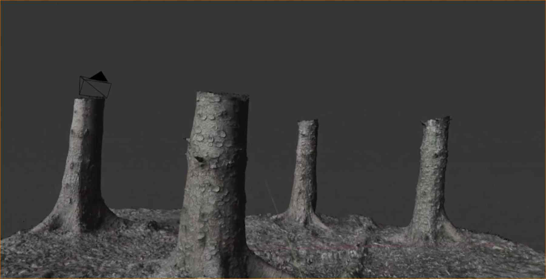
- Lidar surveys: Create detailed 3D models of forest.
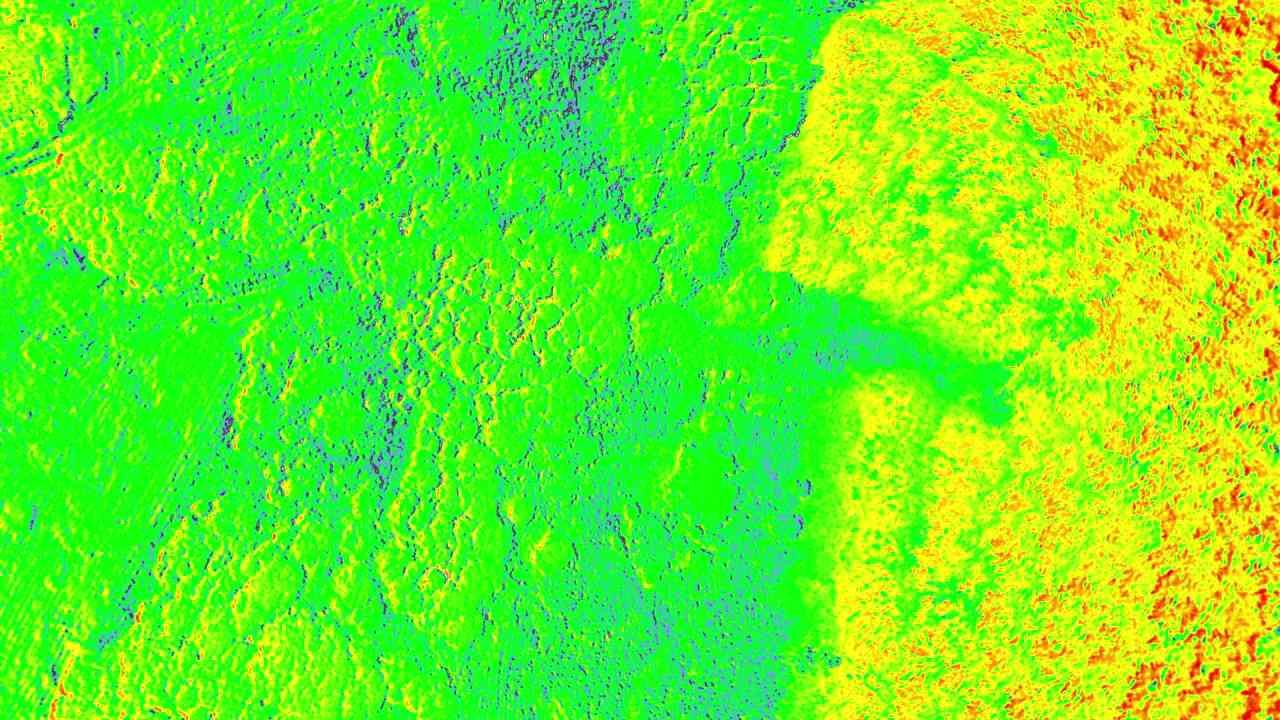
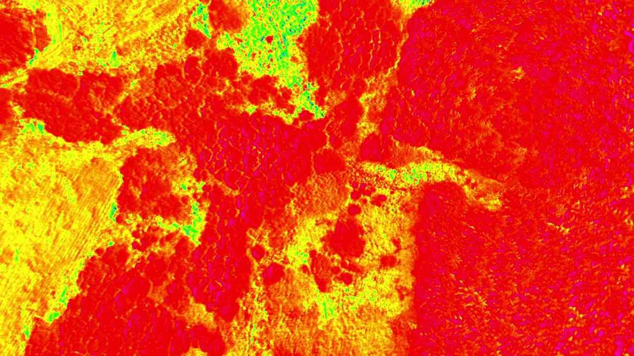
- Multispectral imaging: Monitor vegetation health and detect stress conditions.
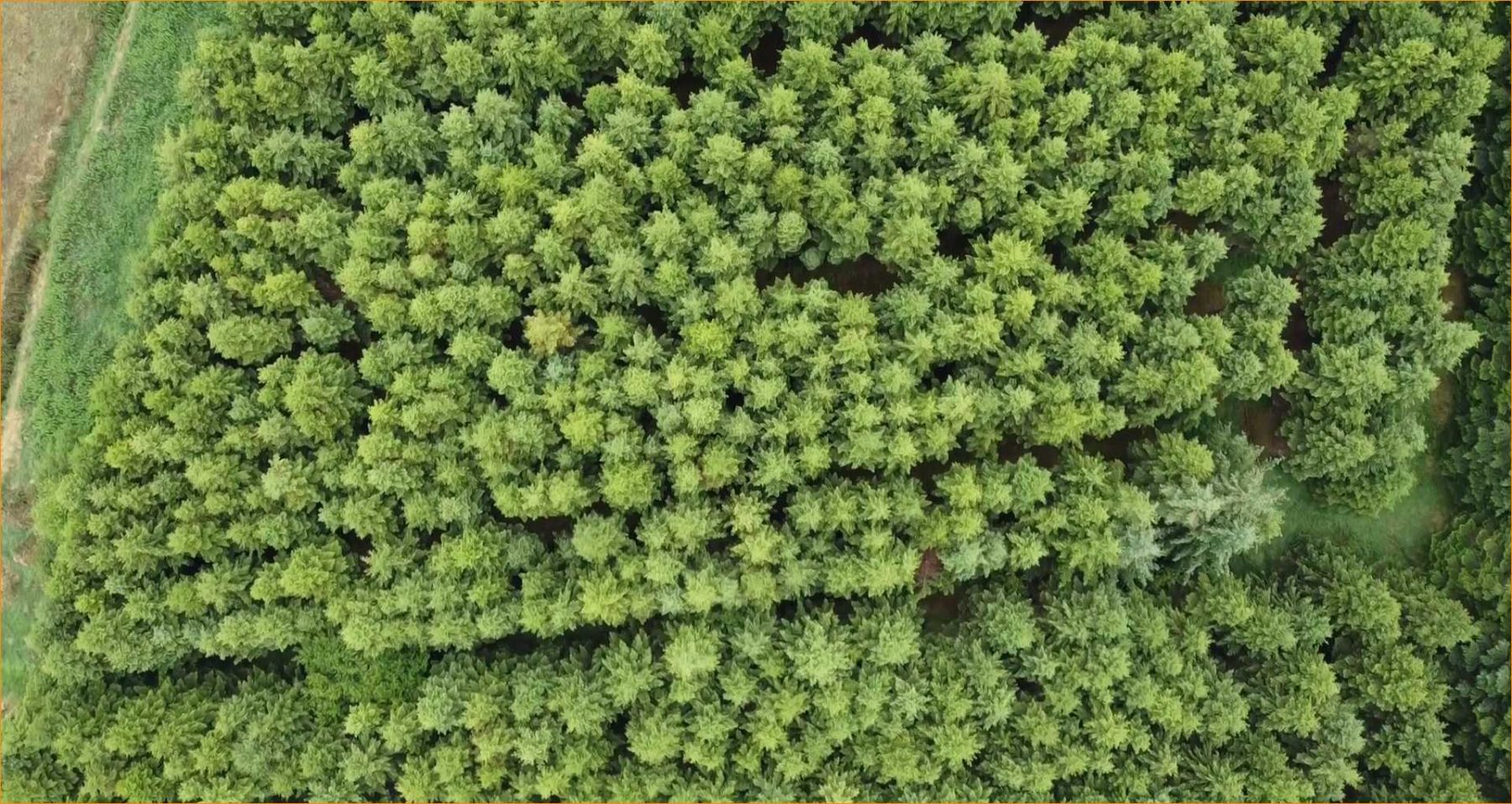
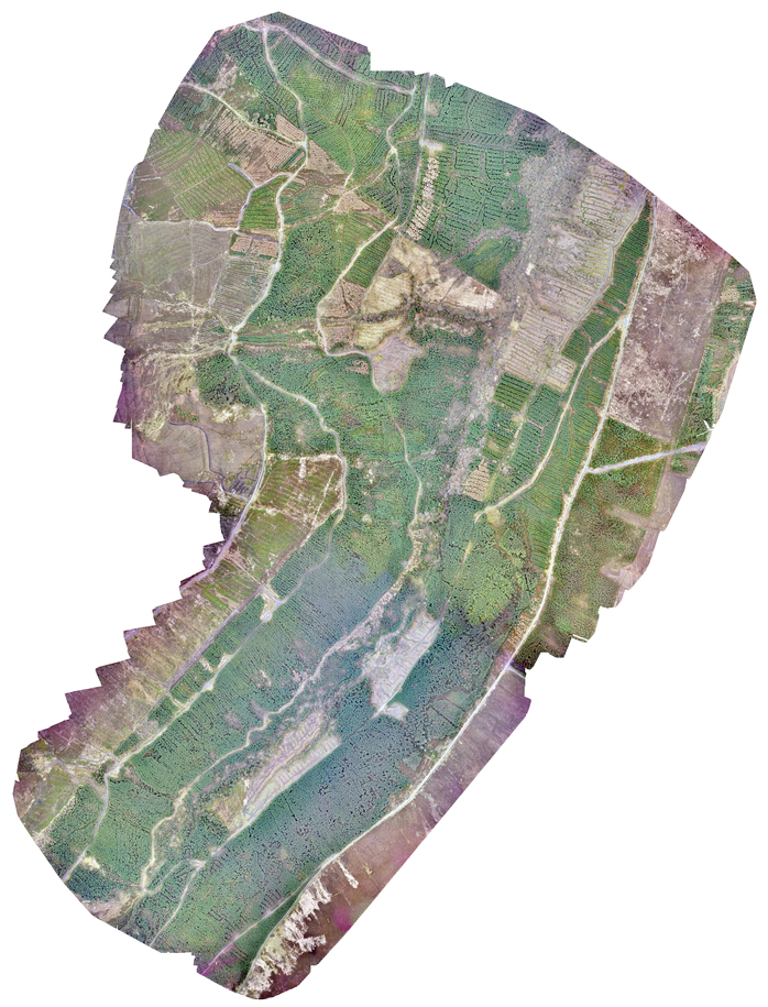
- RGB imaging: Capture high-resolution, true-colour imagery for precise mapping.
Enhance natural habitat management with our precise UAV mapping services. Our high-resolution imaging and analytics support conservation efforts and habitat monitoring. We generate detailed maps of diverse natural environments, track species diversity and distribution, and evaluate the environmental impact of human activities and weather events. Our services help ensure that natural habitats are managed with the utmost accuracy and care.
Unleash the power of Earth observation data
Maximise the potential of Earth observation data with our cutting-edge analytics services. We process and analyse satellite and aerial imagery to deliver valuable insights. We offer tailored analytics to fit your specific project requirements.
Elevate your team’s skills
We help you harness the full power of geospatial data for better decision-making and operational efficiency. Our consultancy services include integrating Earth observation data in your workflows, providing tailored advice to meet your specific needs.
Empower with education
We offer courses and workshops designed to enhance your understanding and application of Earth observation and GIS analytics. Our practical workshops are tailored to address specific needs within your context, ensuring you gain the relevant skills and knowledge to excel in your field.

