
A commitment to innovation and sustainability
Applied Aerial Technology is an Earth observation analytics company, specialising in cutting-edge aerial surveys and analytics to provide objective and transparent nature intelligence.
A passion for nature analysis
Our wide range of services are backed by industry knowledge and our passion to help clients find solutions perfectly tailored to their needs.
Renovation and restoration
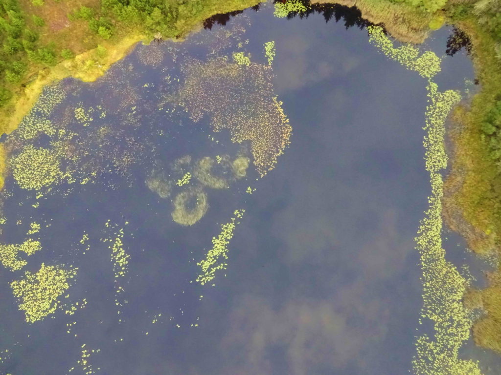
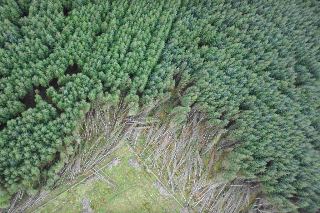
Advanced aerial surveys for environmental impact assessments
Risk and damage assessment
High-resolution drone surveys and analytics for objective measurements
Land mapping
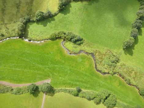
Accurate land mapping and topography surveys using high-accuracy drone sensors
Consulting
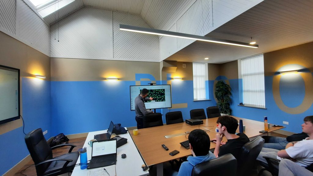
Workshops and consultancy to help integrate EO data analytics into your business processes
Earth observation analytics
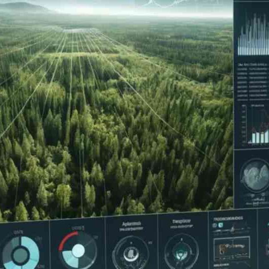
Satellite and UAV image analysis using machine learning algorithms to derive actionable insights
Education and training
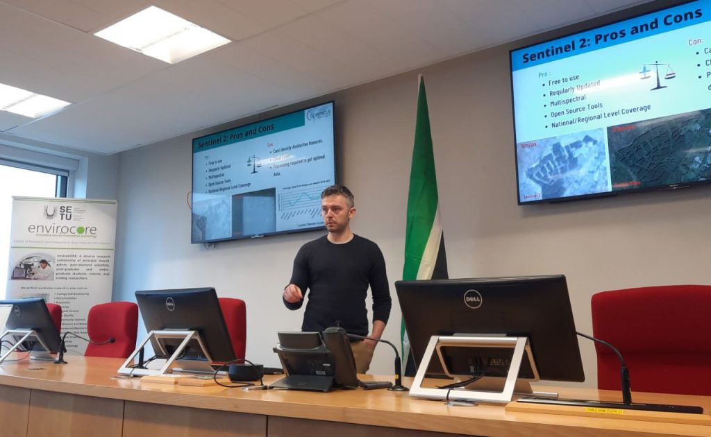
Courses and workshops designed to enhance understanding and application of Earth observation and GIS analytics
Sponsors and awards
High Potential Start Up Fund